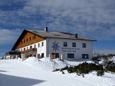
Accommodation

Evaluated by Skiresort, the world's largest test portal for ski resorts.
The evaluation is done as follows
Orientation (Trail map, information boards, sign-postings) and safety in the ski resort Feuerkogel – Ebensee
Trail map and overview maps
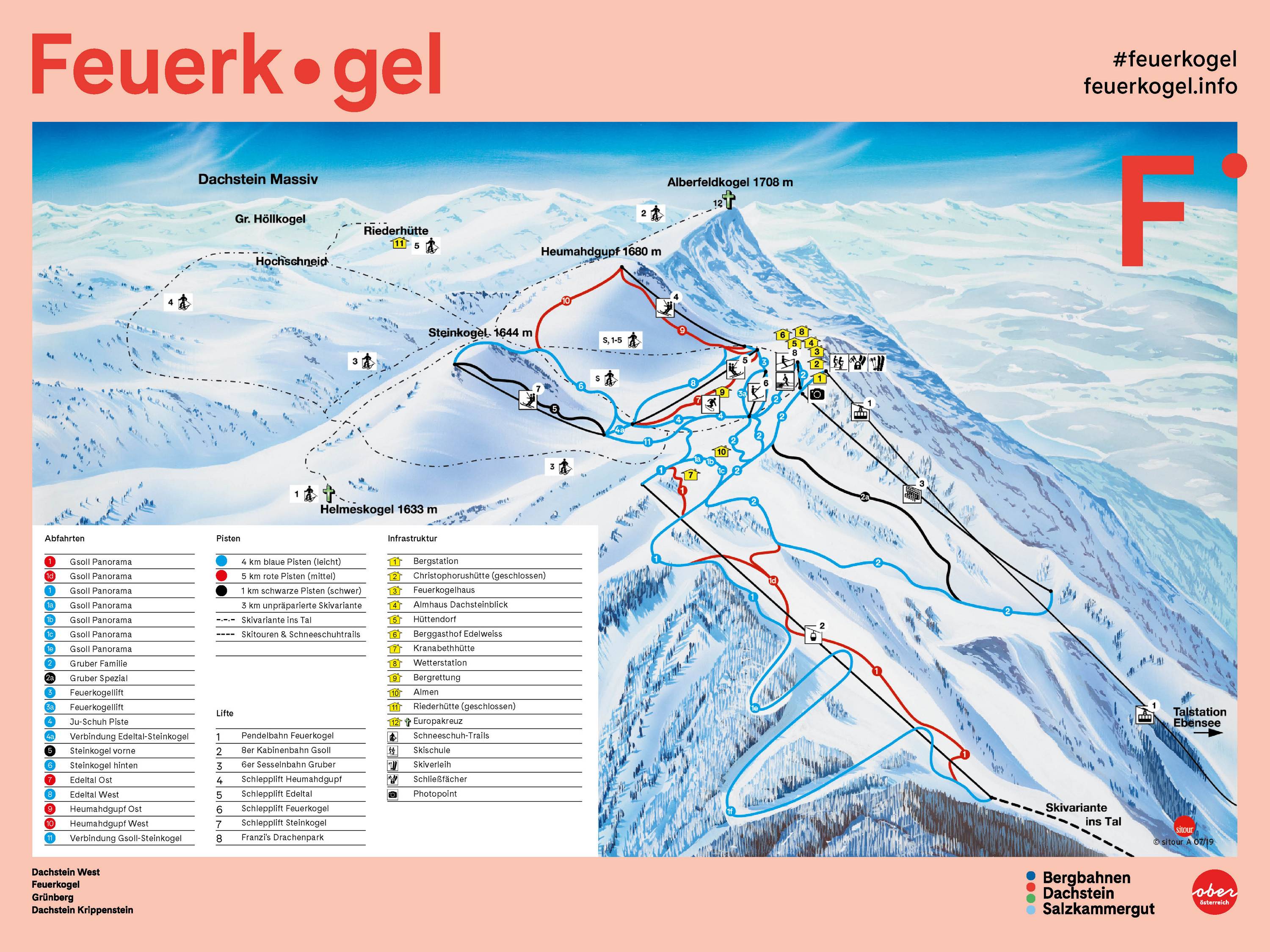
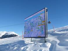
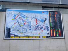
The slope map provides an excellent overview of the entire upper section of the Feuerkogel ski area. The Ebensee valley station is no longer shown on the map. All slopes, lifts, huts, and snowshoe trails are indicated. On the reverse side, you will find additional information, including details about events.
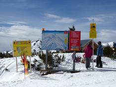
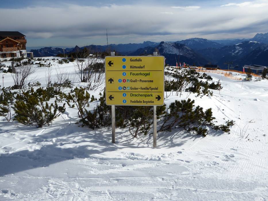
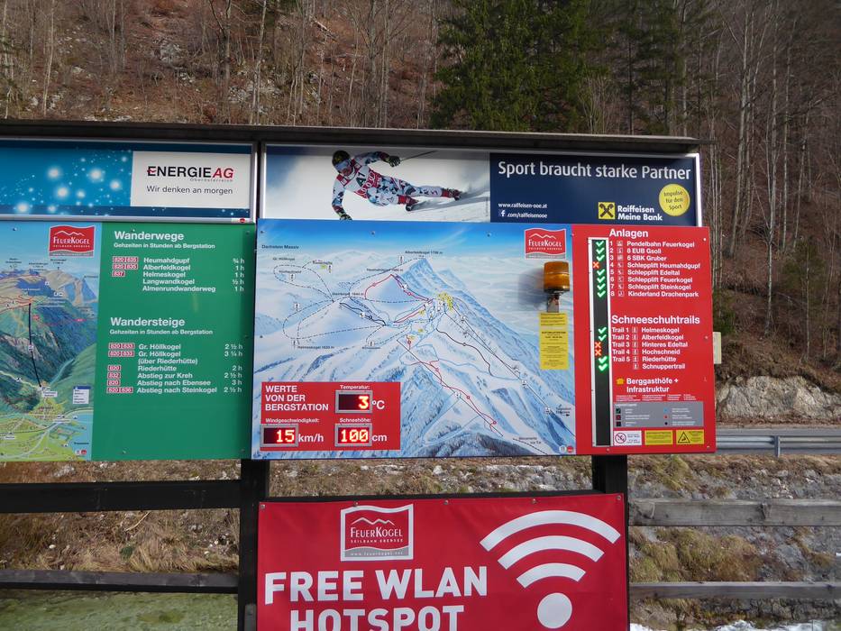
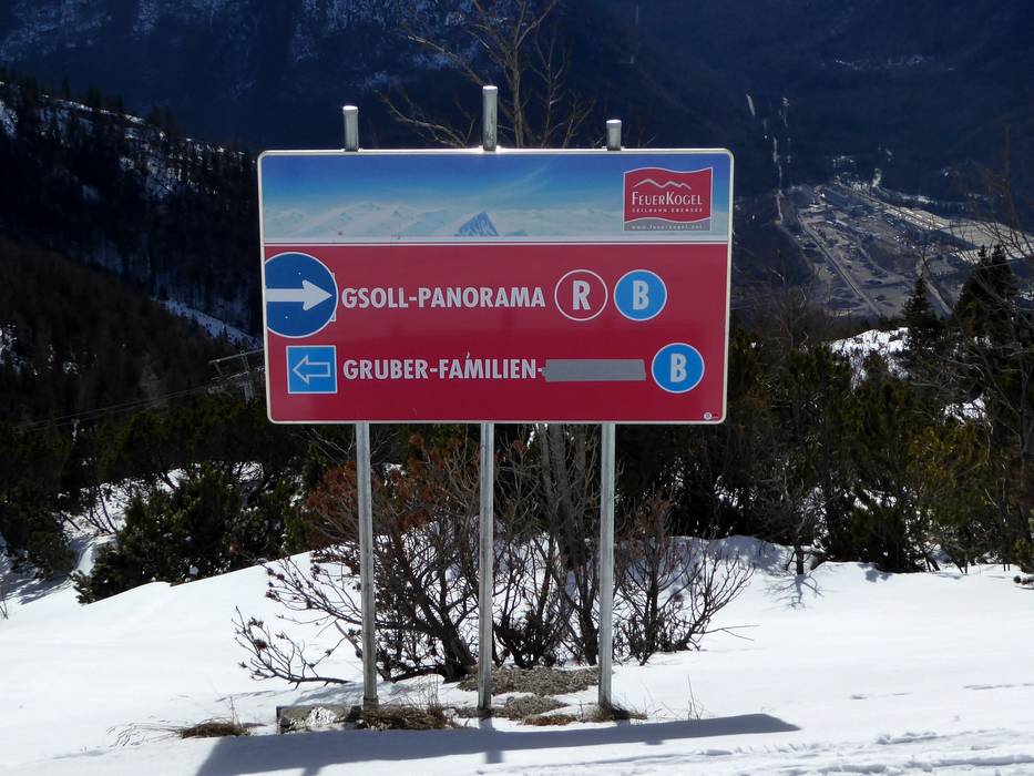
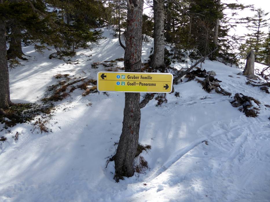
Information boards and sign-postings on the slopes
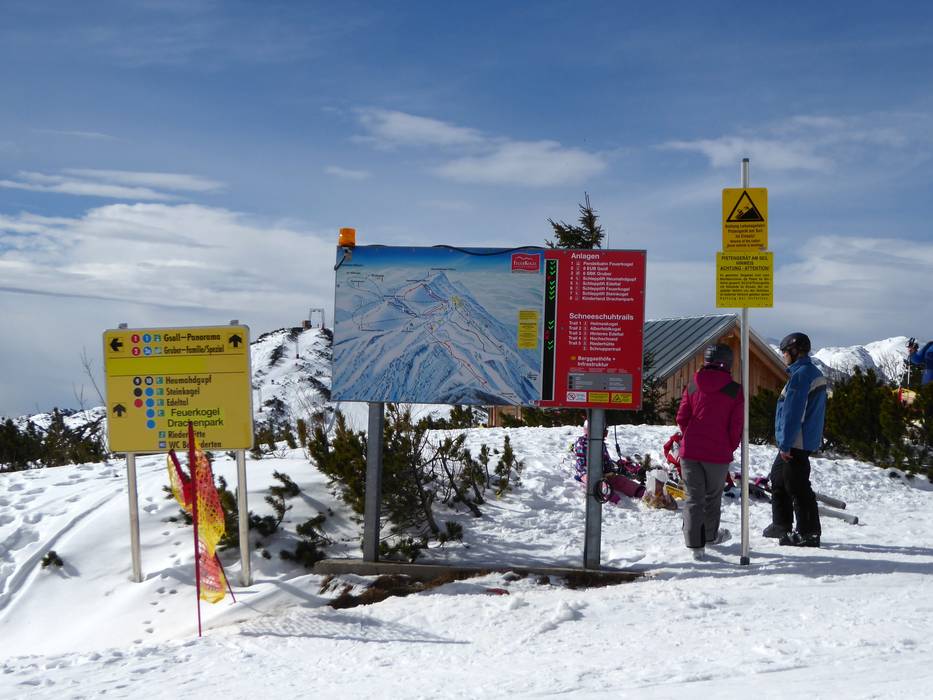
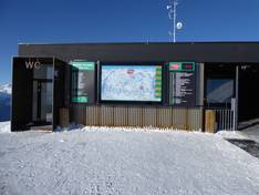
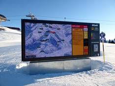
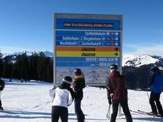
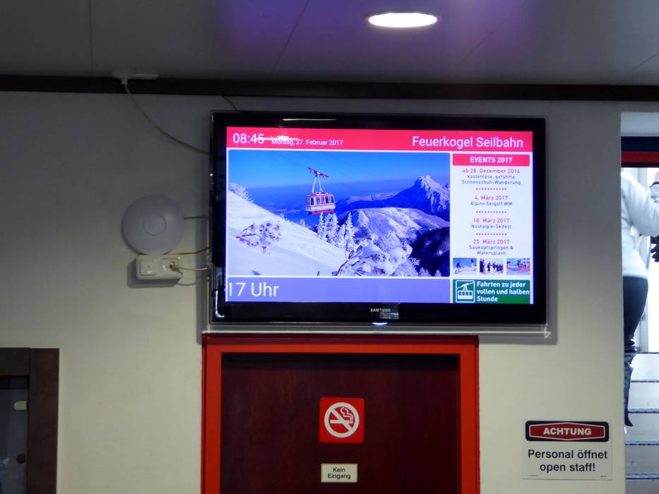
In the Feuerkogel ski area, there is a piste map with operating information in front of the valley station building and at the mountain station. All slopes are large, clearly visible, and clearly marked. It is easy to find your way around the ski area.
Trail map

Feuerkogel Season 2026/2027
Top Orientation
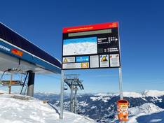
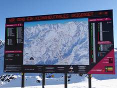
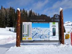
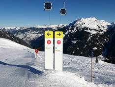
8 strengths of this ski resort
Feedback for the Skiresort Team? Please use this form
Select specific criteria
Top evaluation criteria
Further evaluation criteria
Orientation (trail map, information boards, sign-postings)
Evaluation criteria for special interests
Feedback for the Skiresort Team? Please use this form
Book this ski resort
Test Reports
Tips for the ski holiday